France-Israel space cooperation - Venus vegetation-monitoring satellite sends back 1st images
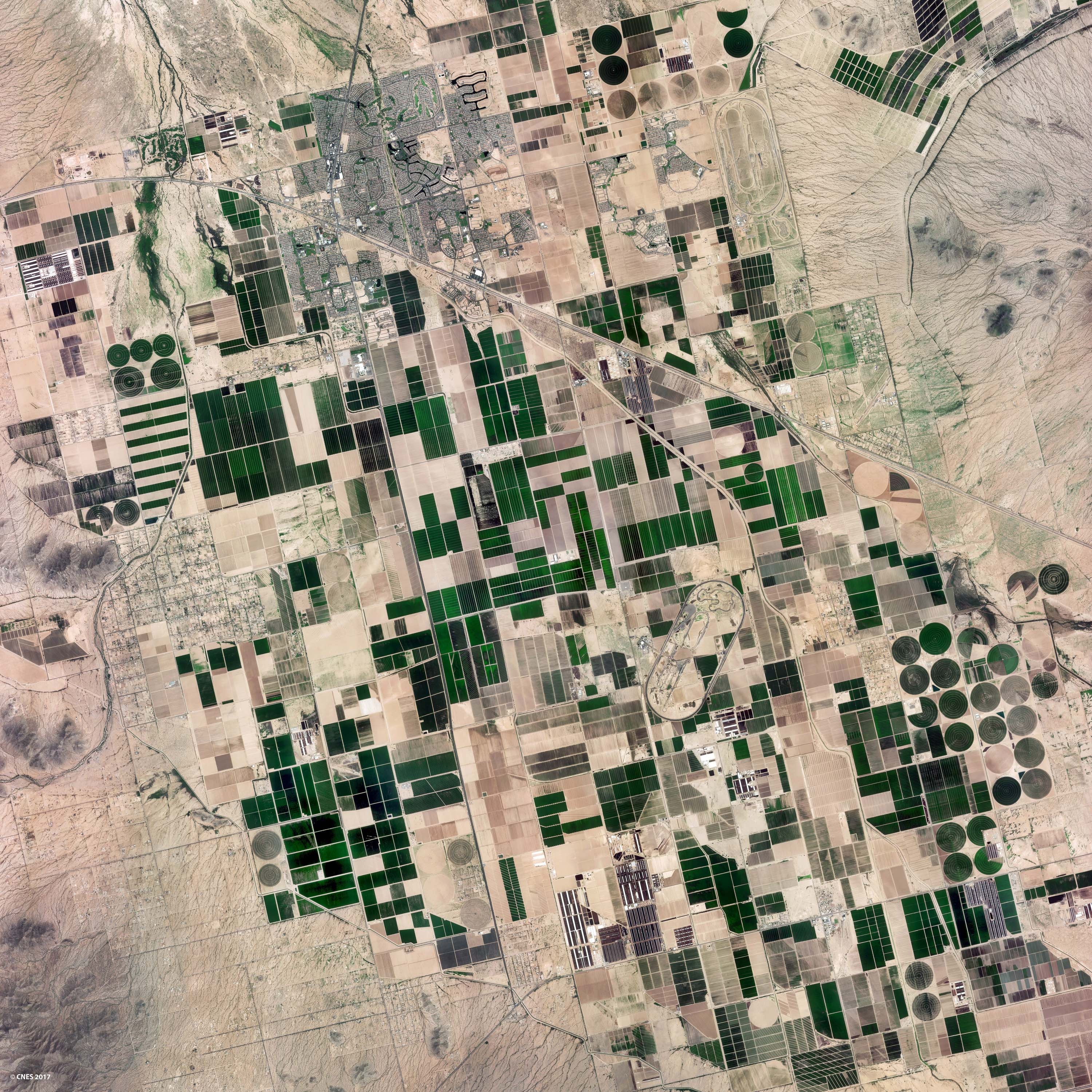
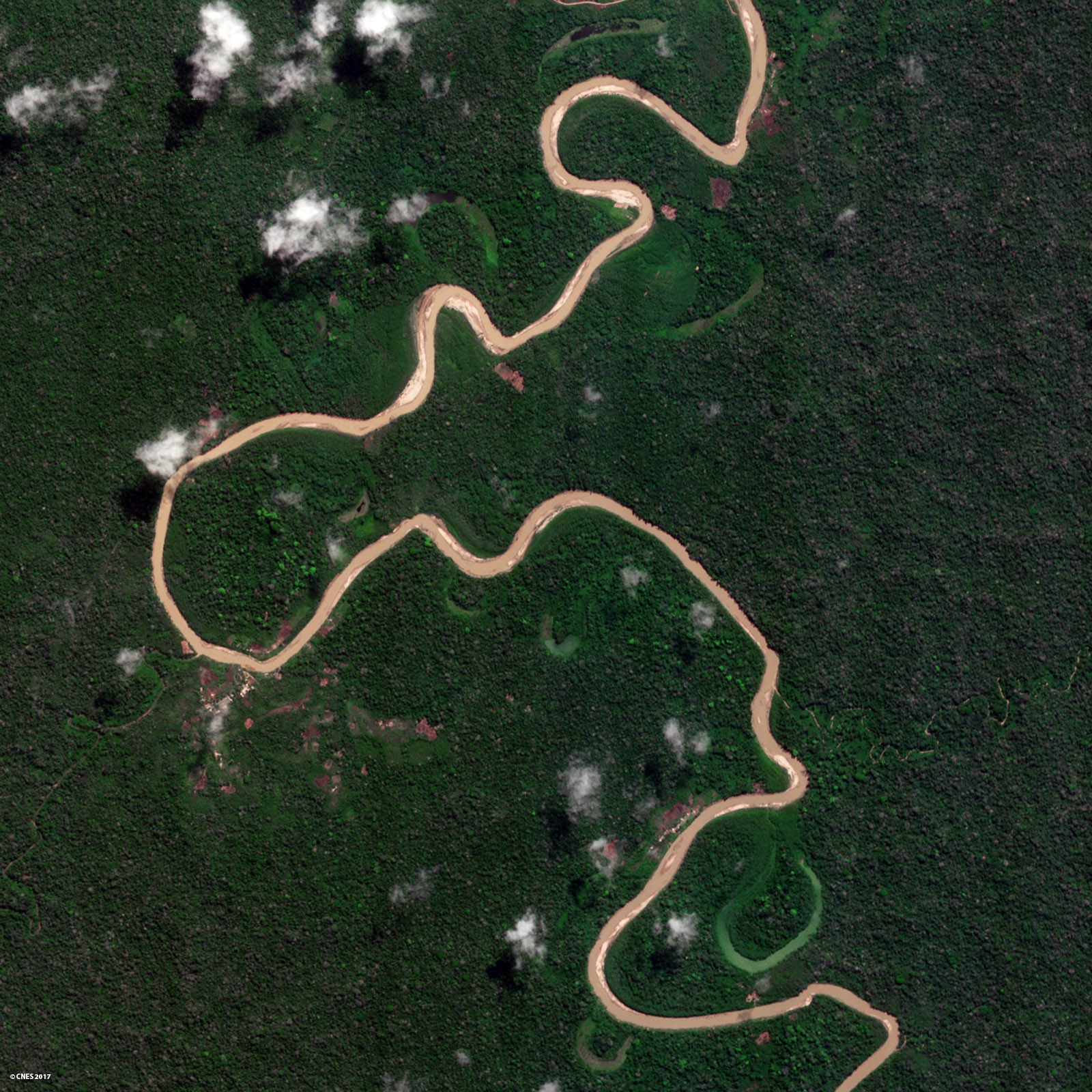
Orbited by a Vega launcher from the Guiana Space Centre (CSG) on the night of 1 to 2 August, Venµs is a scientific satellite developed jointly by CNES and the Israel Space Agency (ISA), and supplied by Israel Aerospace Industries (IAI). With its multispectral camera supplied by CNES, the satellite is now ready to observe more than 100 sites of scientific interest at a resolution of five metres. The selected sites are representative of the Earth’s main natural and crop ecosystems. They will be observed every two days for the next two and a half years in 12 spectral bands, from the blue to the infrared.
CNES acquired the imagery from different regions of the globe starting on Thursday 17 August. The images were recorded on board the satellite, downloaded to the Kiruna receiving station in Sweden and then processed at the Toulouse Space Centre (CST).
Picture 1 : Region of Jerusalem imaged by Venμs on 17 August 2017 / Crédits : CNES
Picture 2 : Region of Marseille imaged by Venμs on 18 August 2017 / Crédits : CNES
Jerusalem and Marseille are both prone to frequent wildfires that are posing an increasing threat as a result of longer periods of heatwaves and drought conditions due to the influence of climate change. Venμs will help scientists to develop new methods for characterizing the Mediterranean’s ecosystems, understanding their underlying mechanisms and devising risk-reduction solutions.

With a mean annual temperature of 24°C and precipitations amounting to no more than 200 mm per year, crops like alfalfa, cotton and citrus fruits can only be grown here with irrigation. In the context of a changing climate, data from Venμs will serve to develop models for optimizing consumption and saving water.

The images shown here are just a foretaste of Venµs’s potential for regular and frequent monitoring of land surfaces and delivering data for improving land cover maps, studying biodiversity and building models of carbon flux, crop yields and irrigation management.
Venµs’s unprecedented revisit rate, high spatial resolution, constant viewing angles and rich spectral detail will enable scientists to better understand and model land surface change being driven by climate and human activities. Venµs will also pave the way for the definition of Europe’s future Earth-observation satellites.
The Venµs mission is currently in its operational qualification phase, which is scheduled to last three months. All of its systems are being tested out and the camera settings for image processing are being calibrated from acquired imagery.
_____
Contacts
Pascale Bresson - Press Officer Tel. +33 (0)1 44 76 75 39 pascale.bresson@cnes.fr
Fabienne Lissak - Head of Media Tel. +33 (0)1 44 76 78 37 fabienne.lissak@cnes.fr
Raphaël Sart - Press Officer Tel. +33 (0)1 44 76 74 51 raphael.sart@cnes.fr
Press Office Tel. +33 (0)1 44 76 76 88 cnes-presse@cnes.fr
 cp127-2017_-_venus_premieres_images_final_va.pdf (pdf - 662.99 KB)